SWAT Nature Trail and Map
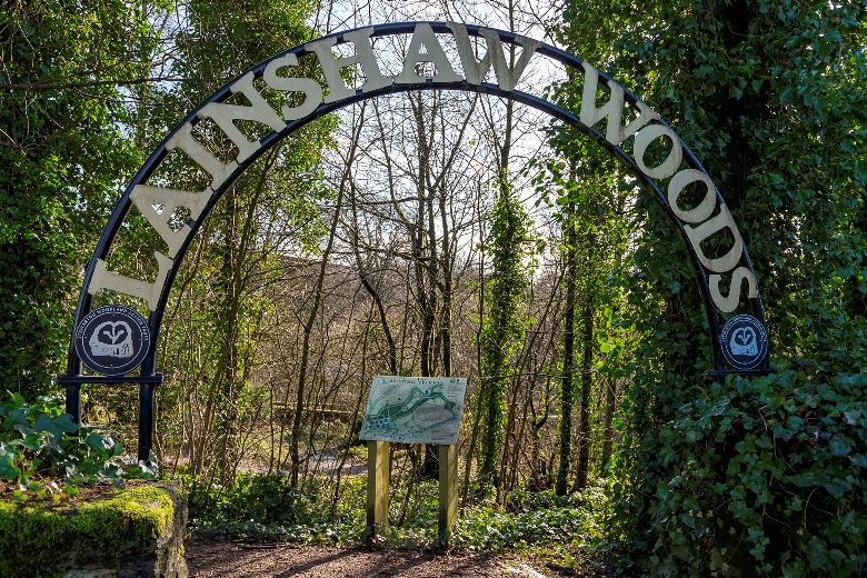
While committed to the wider Stewarton area, the charity focuses much of its effort on conserving and regenerating Lainshaw Woods, that are a short distance from the town centre. Walking from Stewarton Cross to the main entrance to the Woods takes around 7 minutes. Head west along Lainshaw Street and enter David Dale Avenue at the roundabout under the railway viaduct. The main entrance to Lainshaw Woods is then a short distance along David Dale Avenue on the left-hand side.
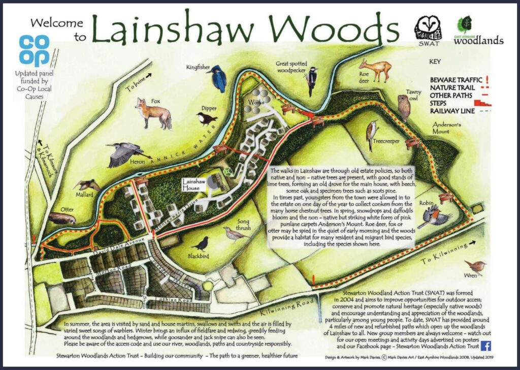
Within the Lainshaw Woods you will find a nature trail that is marked by a series of information panels. The trail is indicated by the red dotted line in the map shown below.
The original map appears on a panel at the main entrance to Lainshaw Woods in David Dale Avenue, Stewarton. (IMPORTANT: The map is oriented for the benefit of viewers stood physically in front of the panel. So, South is ‘UP’ and West is ‘RIGHT’. Annick Water bounds the South edge of the Woods.)
Visitors with mobility issues should note that, on the Nature Trail, there is a set of steps between the Waste Water Treatment Works (‘Works’) and Anderson’s Mount. This is marked as a sequence of red blocks of increasing size on the map.

Depending on the time of year and time of day, mammals, insects and birds that you may see in and around Lainshaw Woods and Annick Water include:
- Grey herons
- Kingfishers
- Great spotted woodpeckers
- Roe deer
- Blackbirds
- Song thrushes
- Dippers
- Bullfinches
- Otters
- Bats
- Peacock butterflies
- Treecreepers
- Red Admiral butterflies
- Sand martins
- Goldfinches
- Painted Lady butterflies
- Red foxes
- Sparrows
- House martins
- Swallows
- Mallard ducks
- Tortoiseshell butterflies

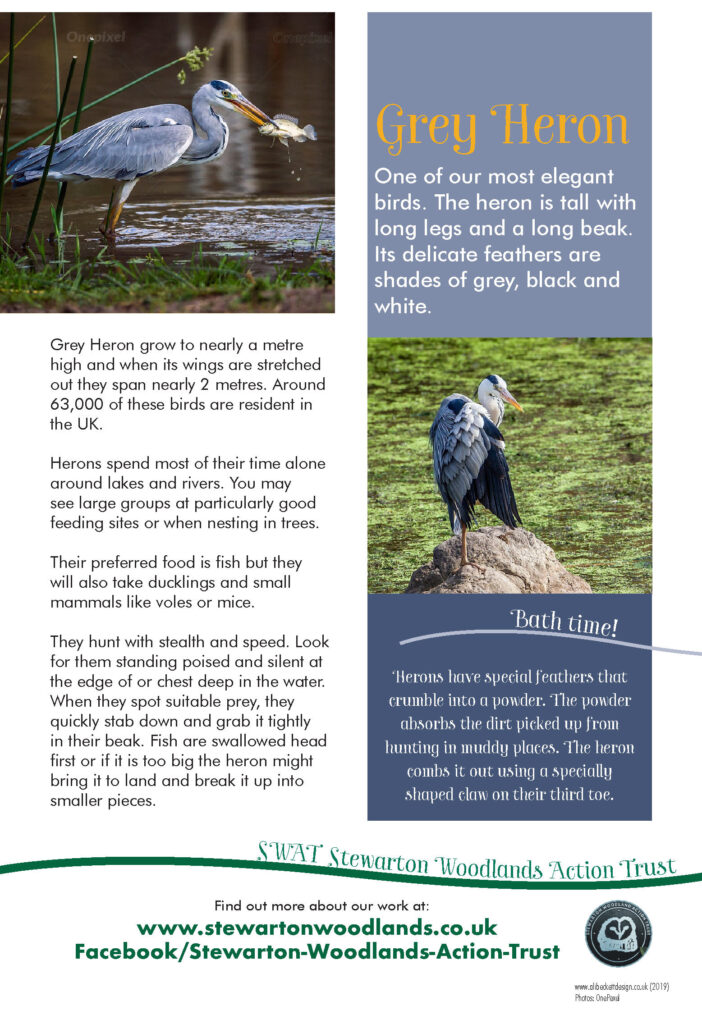
Below is an example of the type of Information Panel that can be found at various points around the Nature Trail.

